Altavista Petroglyphs
Ruins · Rincon de Guayabitos, Mexico
Spirals, crosses, wavy lines and a figure with a tree growing from its head are cut into volcanic boulders along Las Piletas creek, on the slopes of the Copo volcano inland from Chacala. Some 2,000 carvings have been recorded here, and 56 lie in the part open to the public. They are the work of the Tecoxquin, farmers and salt traders wiped out after the Spanish conquest, and Huichol people still come to leave offerings.
From the Altavista turn off Highway 200 a dirt road leads toward the site; it is poorly signed and soon turns to deep ruts, so plan to park and walk the last couple of kilometres, about 45 minutes. A guard at the gate takes a small entry fee or donation. The trail beyond scrambles over big rocks, passing bilingual signs that explain the carvings, and ends at the Pila del Rey, a cold spring-fed pool framed by basalt columns. Not for anyone unsteady on their feet.
- Where it is
- Google Maps · Apple Maps · 20 min drive from Decameron Isla Coral, the closest resort
- More information
- en.wikivoyage.org
All-inclusive resorts closest to Altavista Petroglyphs
Drive times by road, assuming no traffic.
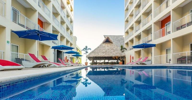
- Decameron Isla CoralRincon de Guayabitos20 min drive10 mi
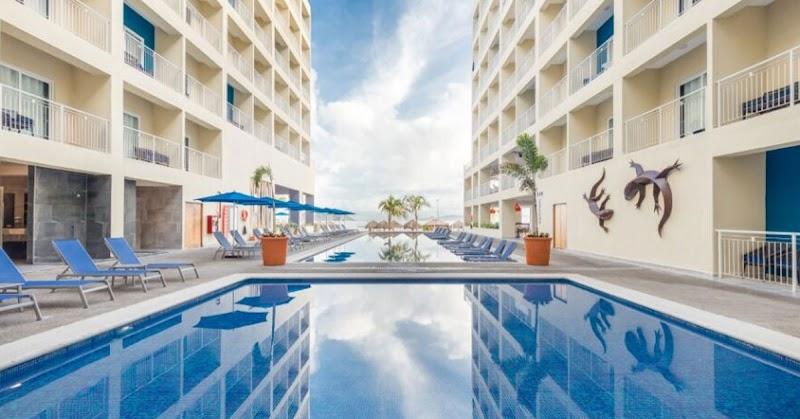
- Decameron La Marina Guayabitos, Ramada All Inclusive ResortRincon de Guayabitos20 min drive11 mi
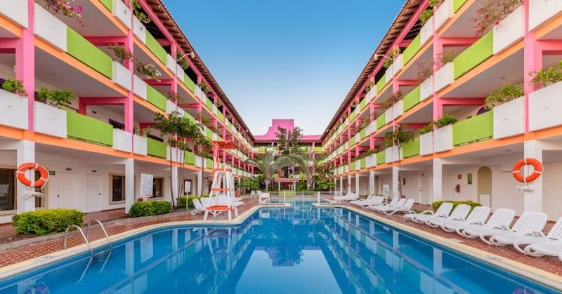
- Decameron Los Cocos Guayabitos, Ramada All Inclusive ResortRincon de Guayabitos20 min drive11 mi
Run Altavista Petroglyphs? Claim this page to keep its hours and closures up to date.
More to do near Rincon de Guayabitos
- Boat trip to Isla del Coral · Day trip
- Piedra Bola · Ruins